

If we had to recommend one hike on our New Zealand itinerary, Rob Roy Glacier would be it. We did this hike in Mount Aspiring National Park, near the lakeside town of Wānaka, and the trail felt like stepping into a fantasy movie. We walked among milky-blue rivers, swinging bridges, alpine forest, and plunging waterfalls to reach a 20,000-year-old glacier. With such dramatic scenery, we expected the hike to be a challenging, but we were surprised by how doable it actually was. Below, we share everything you need to know before hiking the Rob Roy Track.
Rob Roy Glacier: Our Experience
The Rob Roy track really is the perfect mix of adventure and peace. The incredible landscapes give you a new view around every corner: sheep grazing in lush meadows, alpine forest paths, sheer snow-covered cliffs, and the chance to see an ancient glacier up close! It’s easy enough for most travelers, but we still felt like we’ve earned the views once we reached the top.
Note: We did this hike in November (springtime) while traveling by campervan in New Zealand, and it was one of our favourite days of the entire trip.

Rob Roy Track: Key Information
- Rob Roy Distance: 10 KM return
- Time: 3–4 hours (follow the route here)
- Difficulty: Easy – moderate
- Route Type: Out-and-back
- Facilities: Toilets at the car park (here’s the location)
- Best Time: Start early to enjoy soft morning light at the glacier/avoid crowds.
The Adventurous Journey (Before the Hike!)
Our journey began with an incredible drive into Mount Aspiring National Park. Even if we hadn’t do the hike at the end, this trip alone would be worth it! From Wanaka to the Rob Roy start point, it took us about 45 minutes to 1 hour. It’s good to know that the last 30 km of this drive will be on a gravel road.
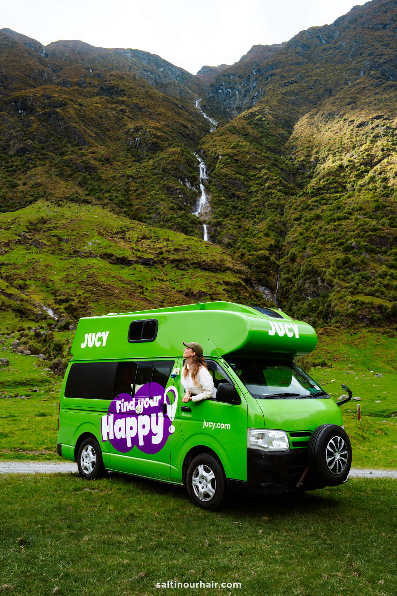
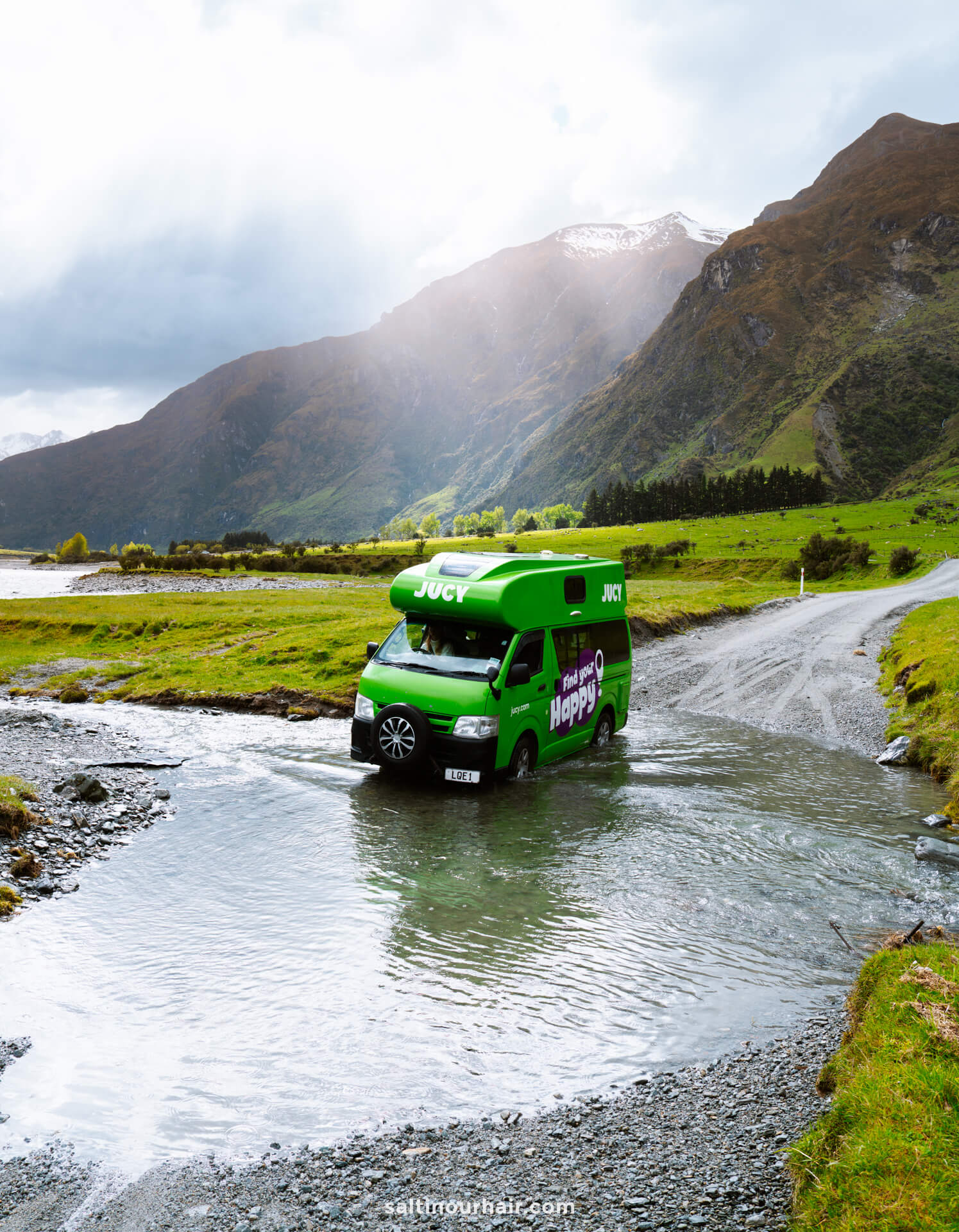
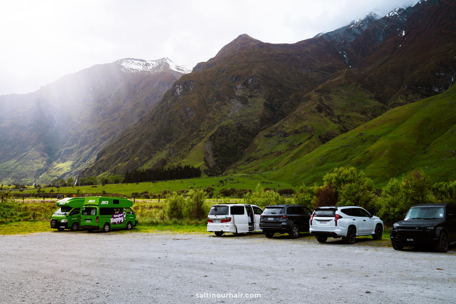
We drove the route in our Jucy camper and slowly but surely made our way through all 9! We did, however, see smaller cars turning around; many people park before reaching the car park and hitchhike the final part in larger 4WDs.
Top tip: If you’re unsure if your vehicle will make it across the ford. Park up, and walk over it first to check the depth. That’s what locals do, too.
Rob Roy Track Start Point
Once we made it through the fords (which felt like a big win😋), we arrived at the large Raspberry Creek Car Park, where the trail begins to the Rob Roy Glacier. As with most hikes in New Zealand, there are toilets at the start point (we love NZ for this!).
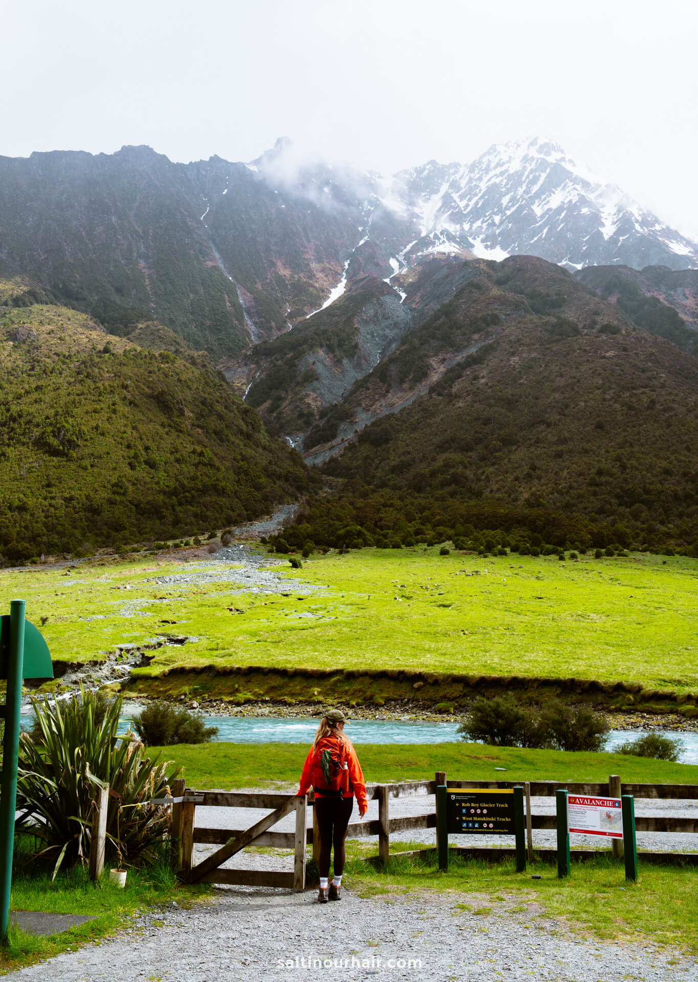
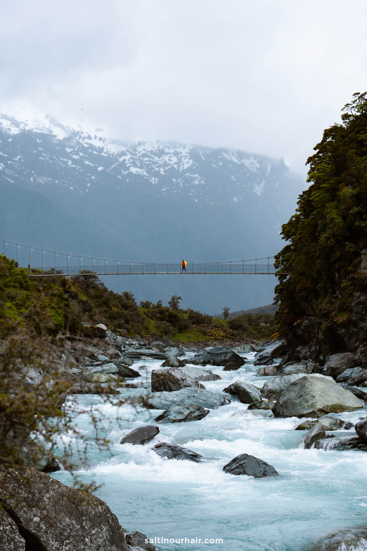
From here, we walked through open farmland with sheep before following the river toward the Matukituki swing bridge. Remember, this is working farmland, so always stick to the path and be respectful of livestock.
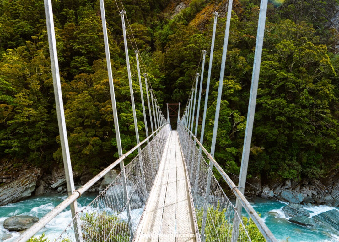
We then saw the swing bridge, and what a highlight this was! We had incredible views in all directions, as we crossed over the milky-blue river into the deep forest ahead.
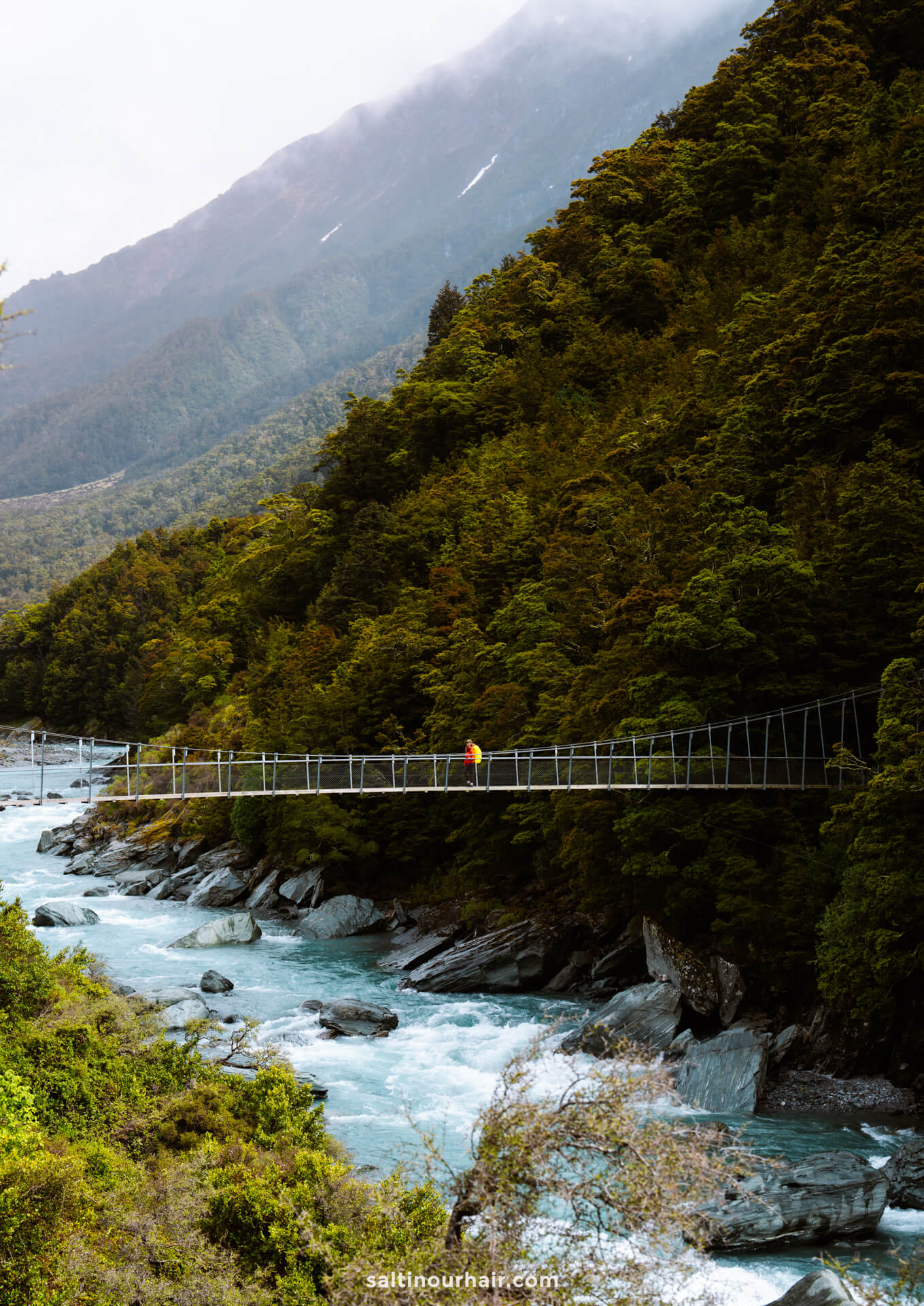
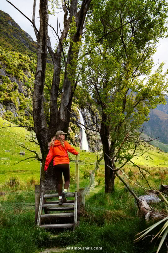
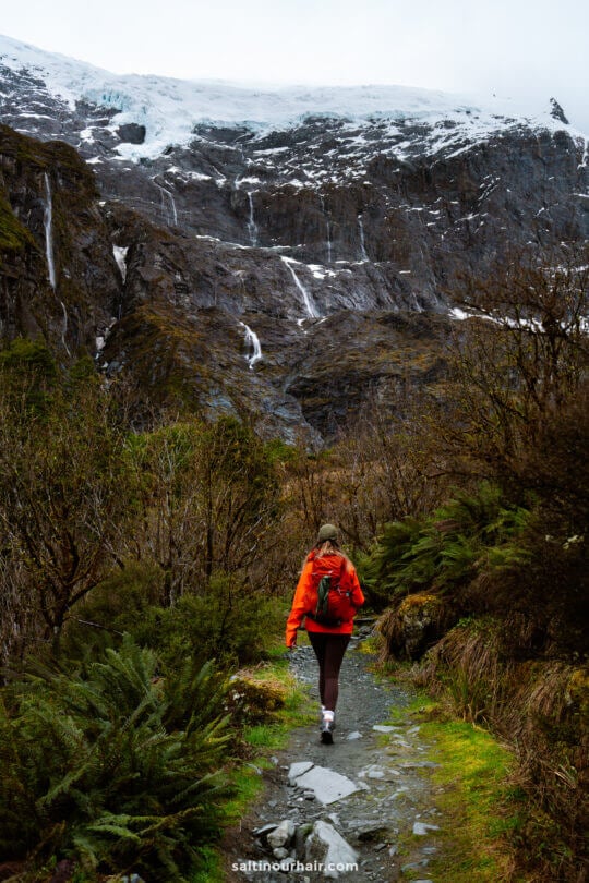
Part 1: Forest to the Lower Lookout (1.5–2 hours)
After the bridge, the trail climbs gently through shady forest. We loved the twisted tree roots, rocky terrain, and mystical scenery. We definitely got Lord of the Rings vibes up here! While this part of the Rob Roy track is up-and-down, it’s very doable (an easy-moderate hike). Here’s the complete route.
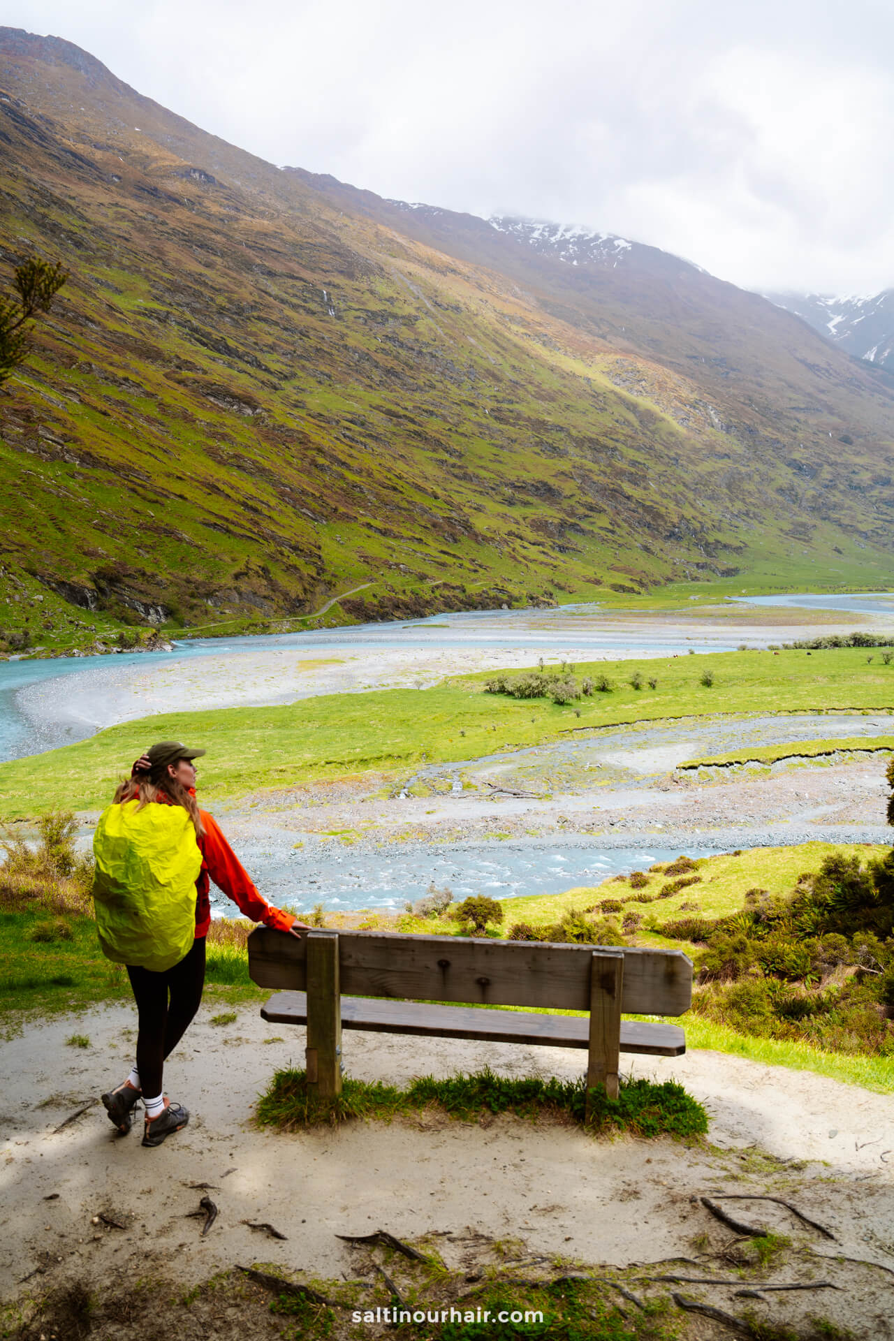
Lower Lookout
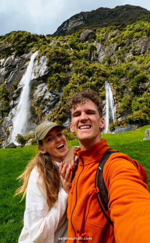
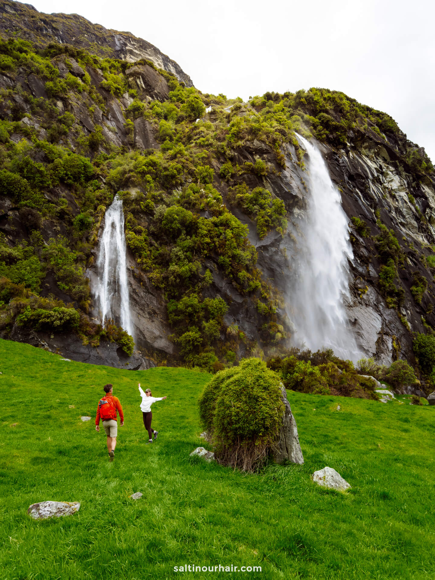
We reached the lower viewpoint first, where there’s a wooden bench you can sit for a minute with a beautiful view of the glacier. Many people turn back here, but if it’s safe to continue (be aware of the weather and avalanche season), we highly recommend proceeding to the final upper lookout. We only needed 15 minutes more of walking to get there, and it’s the real showstopper of the Rob Roy track.
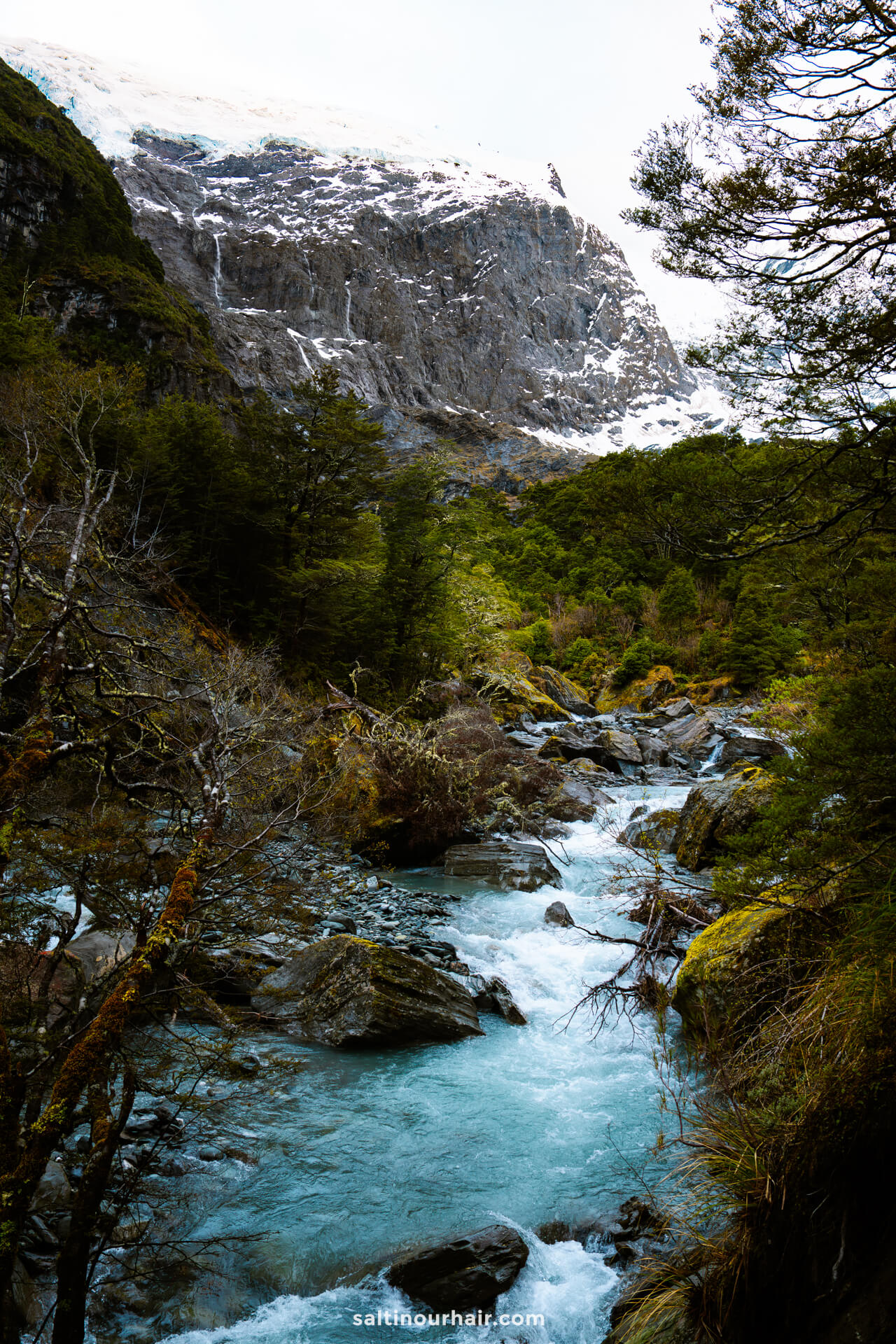
Part 2: Lower Lookout to Upper Lookout (15 minutes)
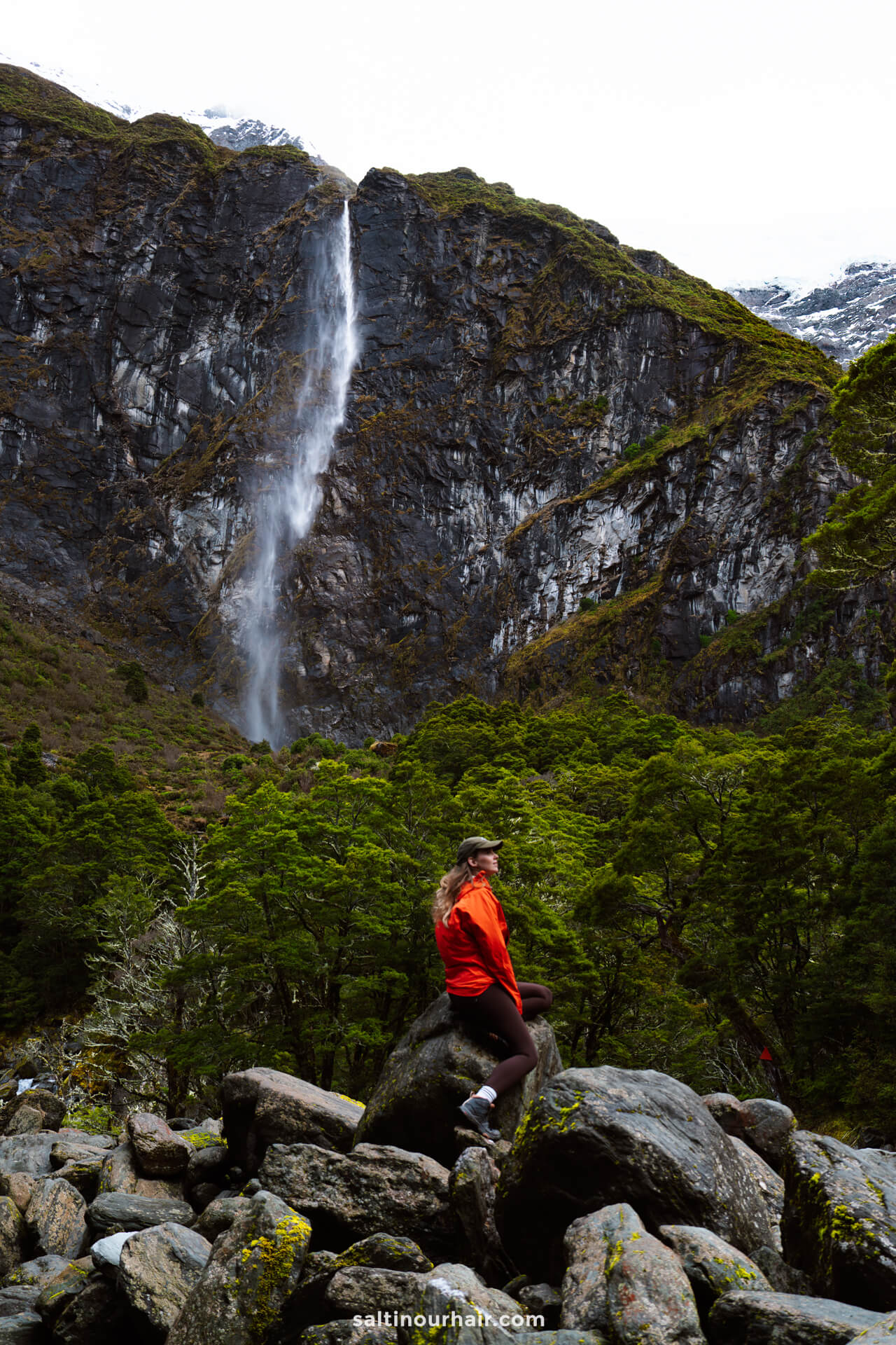
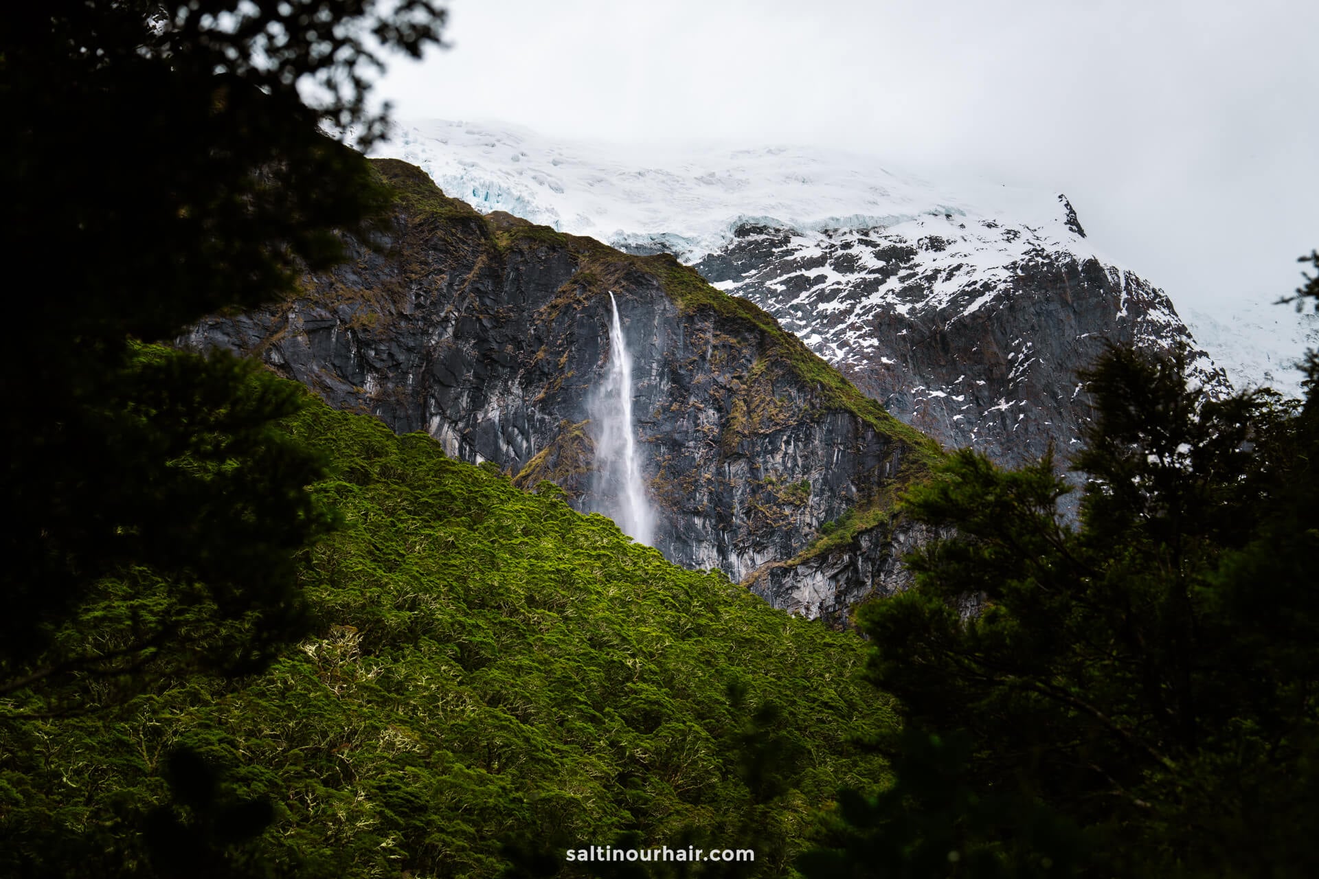
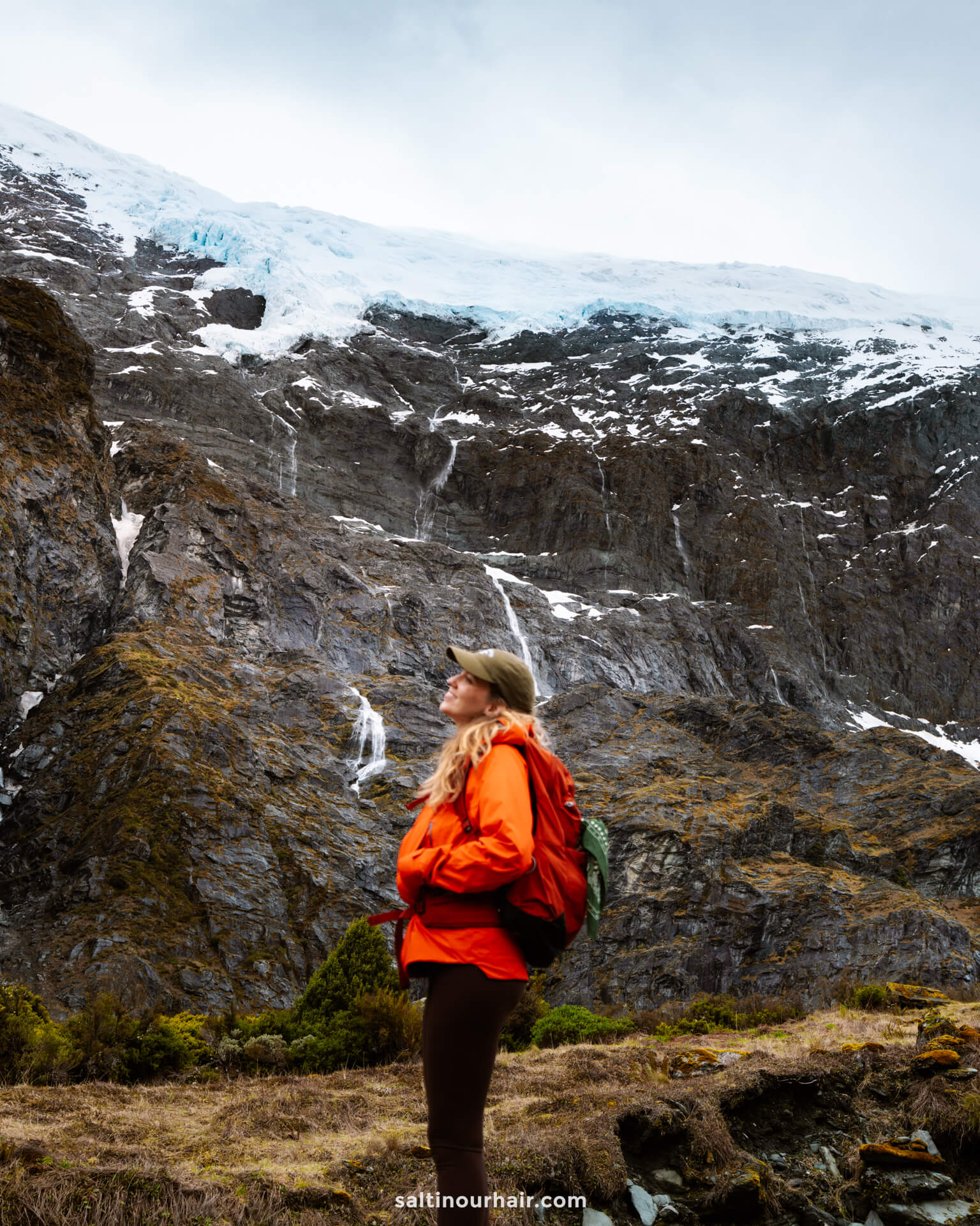
A final 15-minute climb brings you into a rocky area where you can see:
- Countless waterfalls crashing down
- Vertical cliffs
- Rob Roy Glacier. When the wind comes off this 20,000-year-old glacier, it hits you with freezing force. So refreshing!
- Mount Aspiring Peak in the distance.
- Bridal Veil Falls: the tallest and most dramatic fall. As the wind hit, we saw the water literally blow upwards.
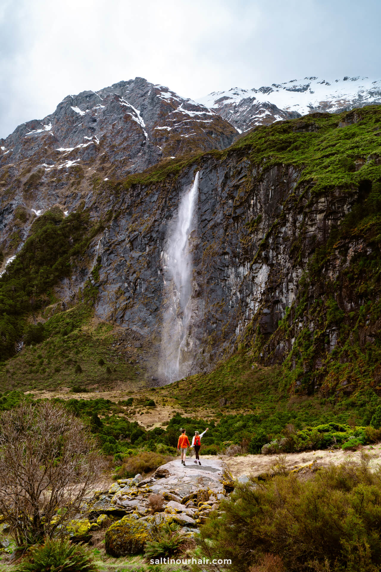
Sit on the rocks here for a while, soaking in the view, and enjoying a picnic. It felt like the perfect place to watch the clouds drift across Mount Aspiring and appreciate nature’s scale. Even though there are other hikers around, it was surprisingly peaceful, as everyone is enjoying the views. We were too stunned to talk!
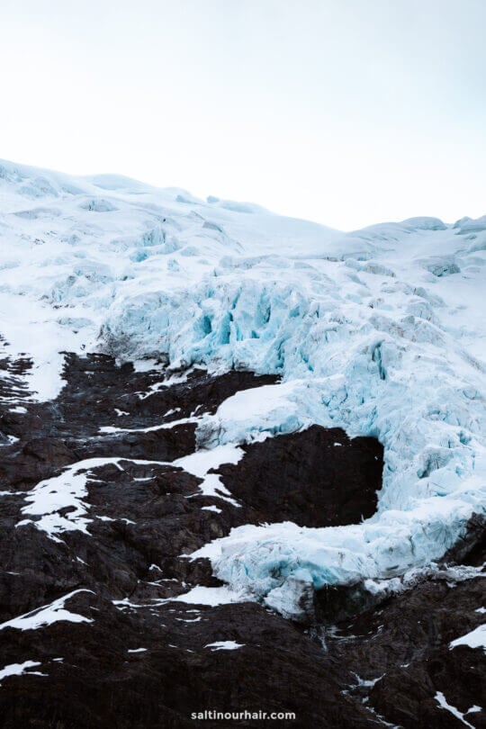
Avalanche note: The upper viewpoint is prone to avalanches from May to November, but conditions vary day to day (check online beforehand). In early November, when we visited, it was totally fine.
By Car (Best Option)
Driving is by far the best way to reach the Rob Roy Glacier Track. The trailhead is deep within Mount Aspiring National Park, and the road is not served by public transport. It took us about 40 minutes to drive from Wānaka in our Jucy campervan (rent yours here), although it can take longer depending on the depth of the fords.
What to expect:
- A long gravel road (around 30 km until the car park)
- Multiple river fords (the number varies, but we crossed nine in November)
- High-clearance vehicles are recommended after heavy rainfall. Because of the fords, always check rain conditions before committing.
- Campervans can make it if the weather has been dry, but go slowly. If in doubt, park your camper and hitch/walk the rest of the way.
We recommend to rent a car in New Zealand through Sunny Cars with free cancellation and insurance included. Book your rental car here.
By Public Transport
Unfortunately, there is no public transport to the Rob Roy Glacier Track. You can get to Wānaka by bus, but from there, you’ll still need a rental car or a rideshare to reach the start point.
By Tour
Because it’s less popular than other hikes in the area, such as Roy’s Peak, there aren’t as many tour options to Rob Roy Glacier. However, there are a few small, private Wānaka operators that occasionally offer guided hikes (this is usually seasonal, so make sure to book ahead).
Tip: If you can’t find a Rob Roy Glacier tour and don’t have a car, join a hiking tour from Wanaka, instead. There are so many beautiful hikes in New Zealand, you’re spoilt for choice!
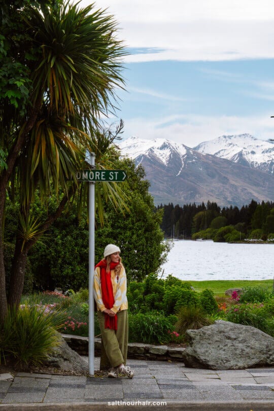
Where to Stay
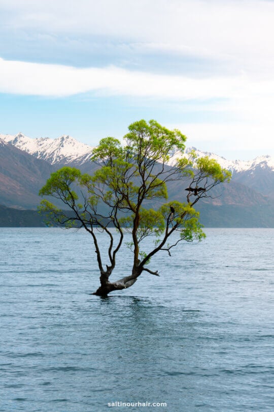
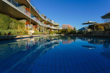
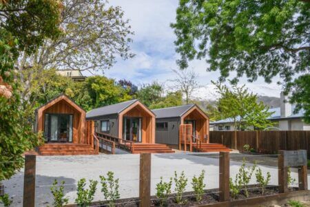
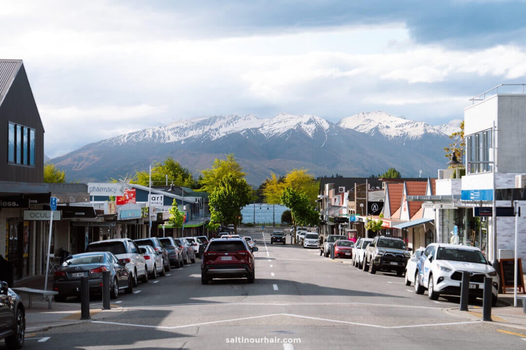
You can only reach the Rob Roy track from Wānaka, as there is no road from Queenstown, so if you’d like to stay nearby, we recommend Wānaka town as your base. It has some great cafes, beautiful lake views, and a variety of hotel and campsite options. We stayed at this campsite.


Best Time to Visit Rob Roy Glacier
We hiked the Rob Roy track in early November, and we absolutely loved it! Spring colors, new shoots among the forests and meadows, and perfect walking temperatures.
Other seasons:
- Summer: Long days and consistent weather that’s good for reaching the upper lookout.
- Fall: Stunning autumn colors around Wānaka and in the lead up to the trail.
- Winter–spring: Icy conditions and a risk of avalanche at the upper viewpoint. This is usually from May-November, so always check the conditions before you begin.
The total hike is about 10 KM there and back and takes 3-4 hours, depending on stops.
It takes about 45 minutes to 1 hour to drive to the start point of the Rob Roy track in Mount Aspiring National Park. It depends on how many fords you need to cross (take it slowly).
No, it’s totally doable! The final ascent is slightly steeper, but most of it is a gentle incline along a well-trodden path.
By purchasing through our links, you support us at no additional cost.
Thank you for your support. ♥️
- Find Hotels via Booking.com
- Find a Rental Car via Sunny Cars
- Find Cheap Flights via Skyscanner
- Get a Travel Insurance via Heymondo
- Book Tours & Attractions via GetYourGuide
- Book a Bus/Train/Transfer via 12Go


Looking for more travel information? Plan a chat with us for personalised travel advice or get an answer from the Salt in our Hair Travel Community on Facebook.