
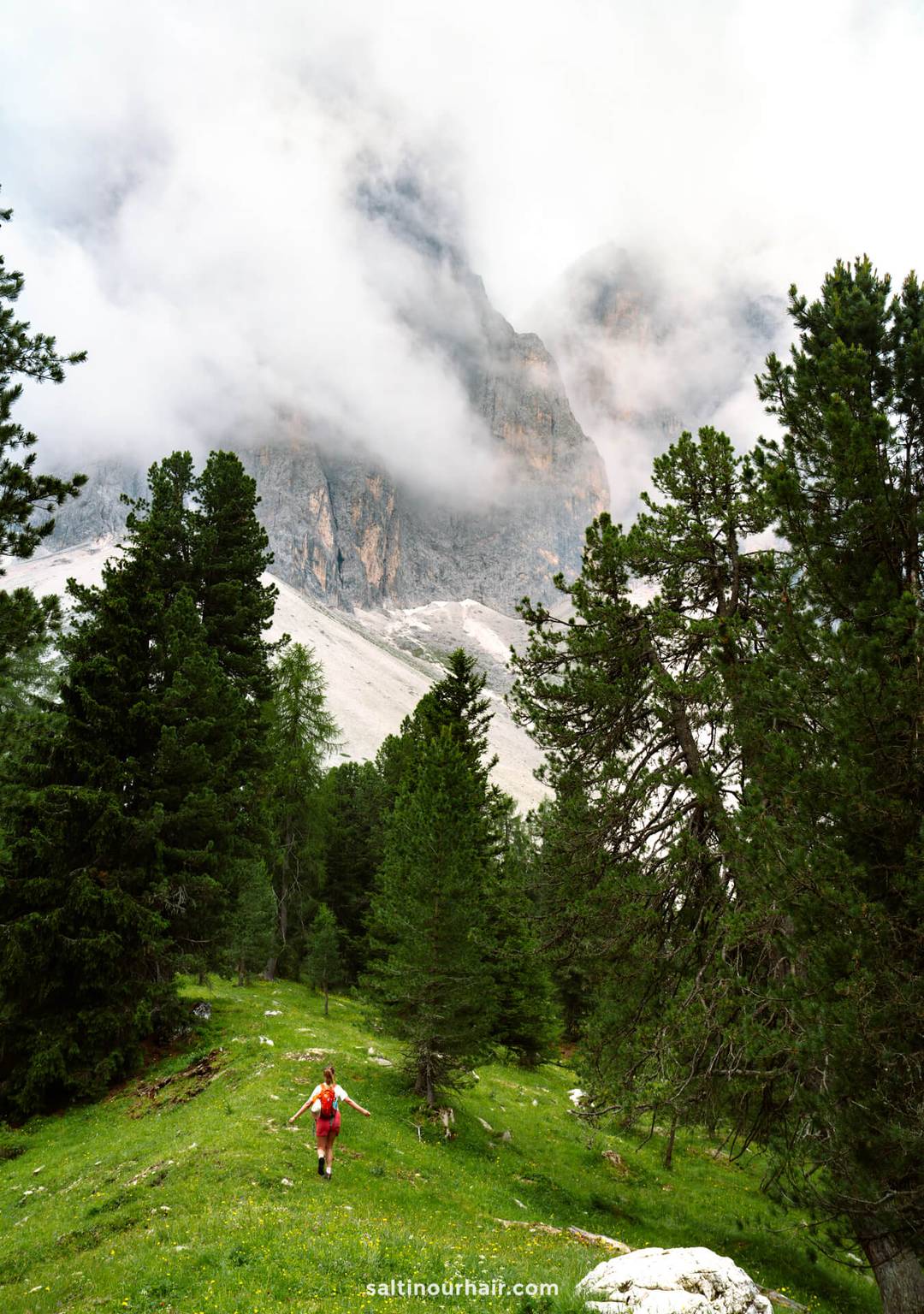
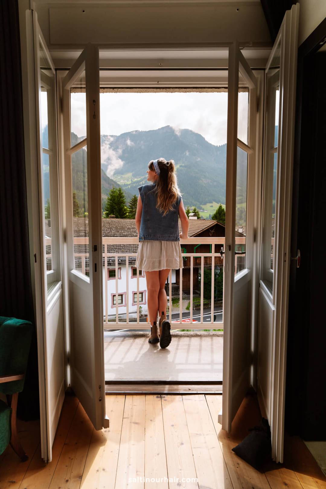
Hiking the Adolf Munkel Trail to Geisler Alm was one of our favorite things to do in the Dolomites. Even with clouds hanging over the Odle peaks, the views were breathtaking. The route winds through forest and open meadows, with the chance of spotting wild horses along the way. The best part? Refueling with a big brunch at the hut. In our guide, we’ll share how to do the hike yourself, plus all our best tips to make it an unforgettable experience.
Hiking the Adolf Munkel Trail to Geisler Alm
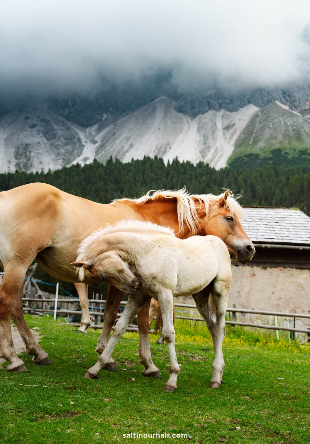
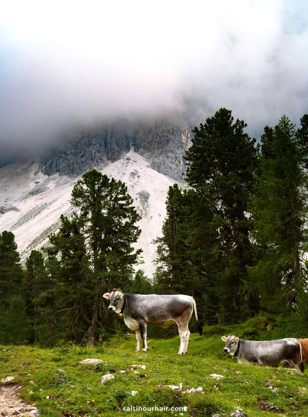
The Adolf Munkel Trail (or Adolf Munkelweg) to Geisler Alm is one of the most stunning hikes we’ve done during our trip in the Dolomites! We followed a loop trail that starts and ends at Zanser Alm. You’ll wind through pine forests, alpine meadows, river streams, and even some small waterfalls. Plus, along the way, you might meet grazing cows and even wild horses!


The trail details at a glance:
- Trail: Adolf Munkel Trail (Adolf Munkelweg), trail no. 35
- Length: ±9 km
- Duration: 3–4 hours
- Elevation gain: 400–455 meters
- Difficulty: Easy to moderate
- Route type: Loop
- Starting point: Zanser Alm
- Dog friendly: Yes (we saw lots of cute dogs!)
- Family-friendly: Yes, but not stroller accessible

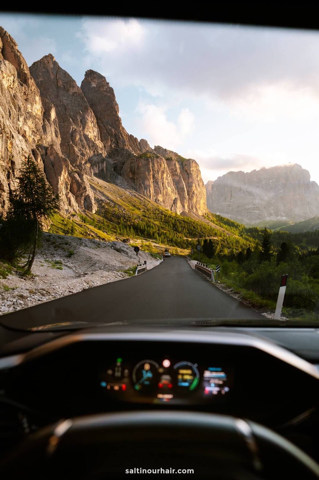
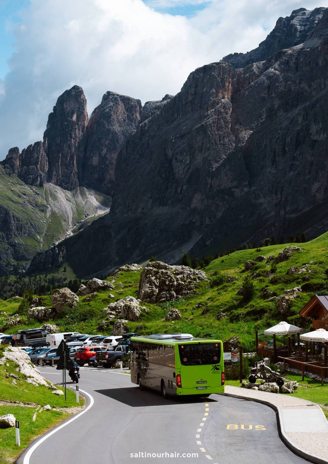
Park your car for the Geisler Alm hike at the Zanser parking lot. Numerous trails begin here, including the Adolf Munkelweg. We paid 10 EUR to park our car (cash only), it’s 16 EUR for campers. Try to arrive as early as possible.

Clockwise or counterclockwise?
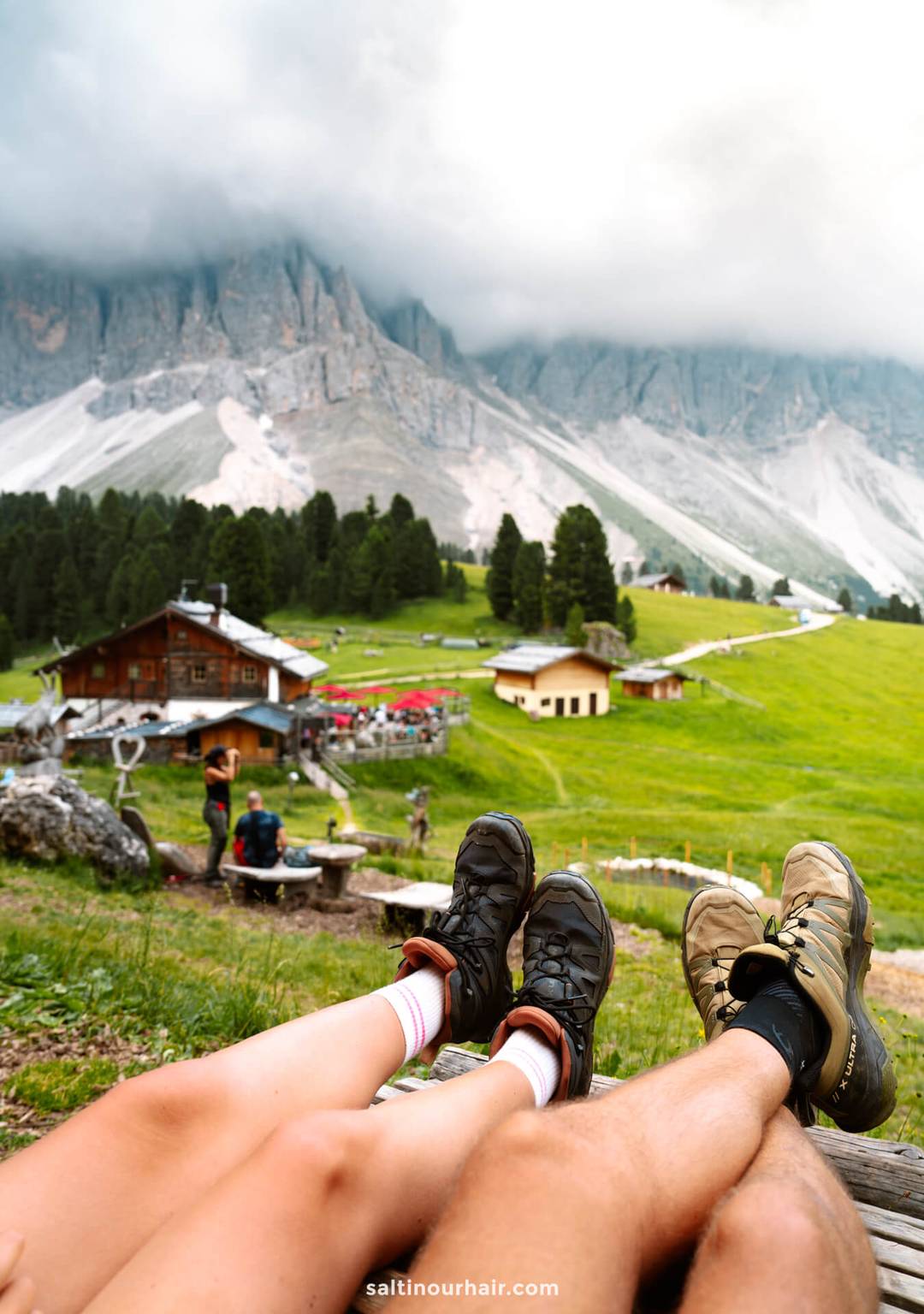
We hiked the trail clockwise, and we recommend doing the same. This way, you begin a more diverse part of the trail passing river streams, stunning views, and forest. A little over mid-way, you’ll get to Geisler Alm which is the perfect spot to chill and have a cheeky little Kaiserschmarrn, like we did.🤤 After that, you continue the loop further through the forest back to the starting point.
Note: Just keep an eye out for trail number 35 to stay on the Adolf Munkelweg.

The Geisler Alm Hike Route
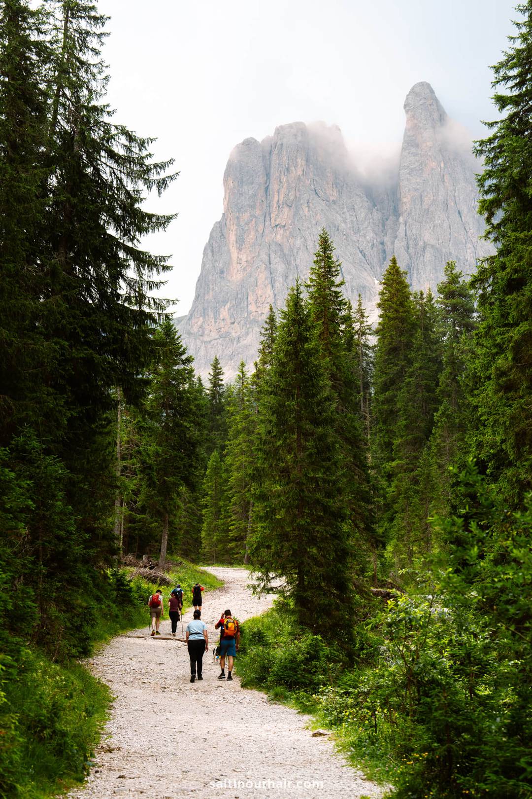
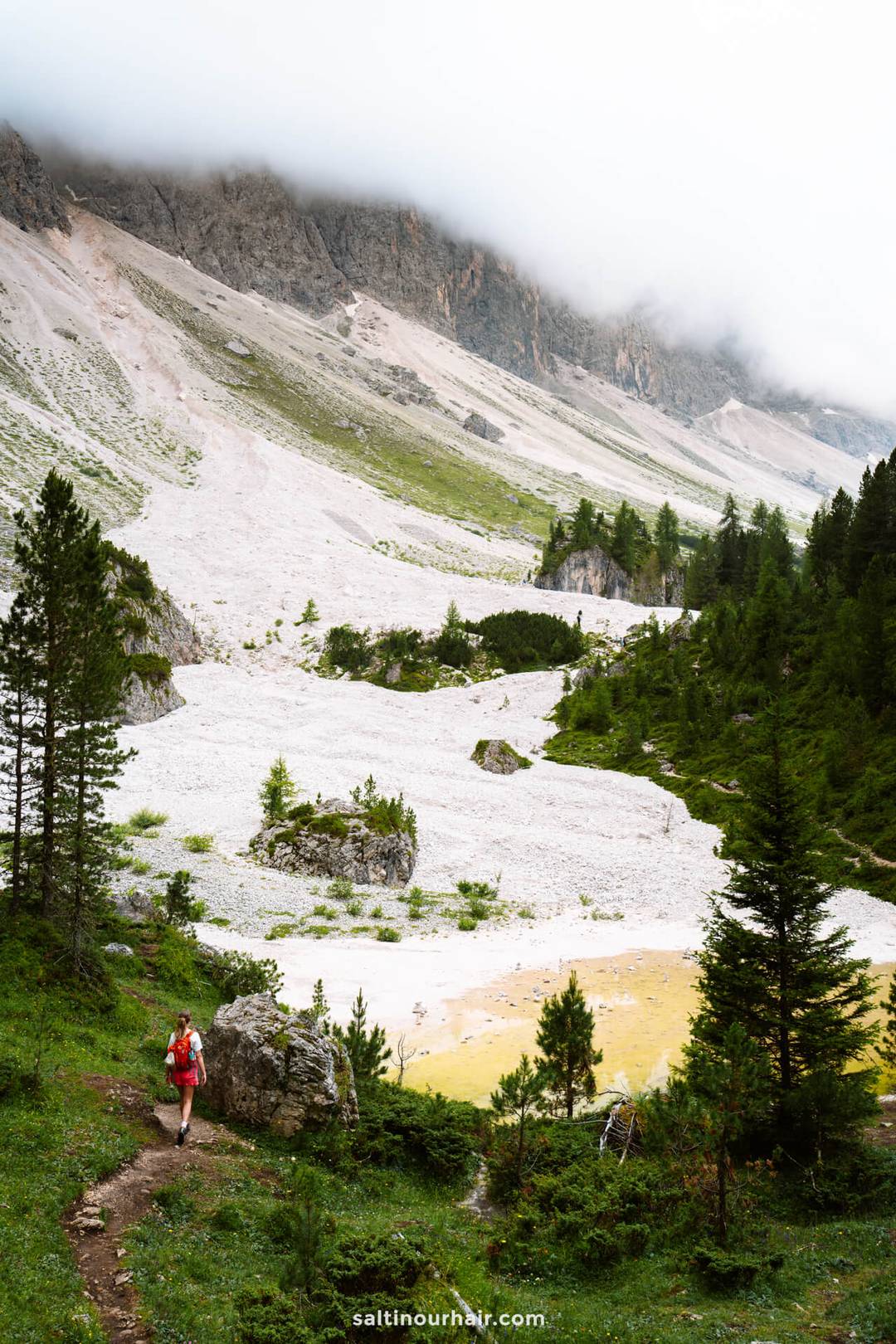
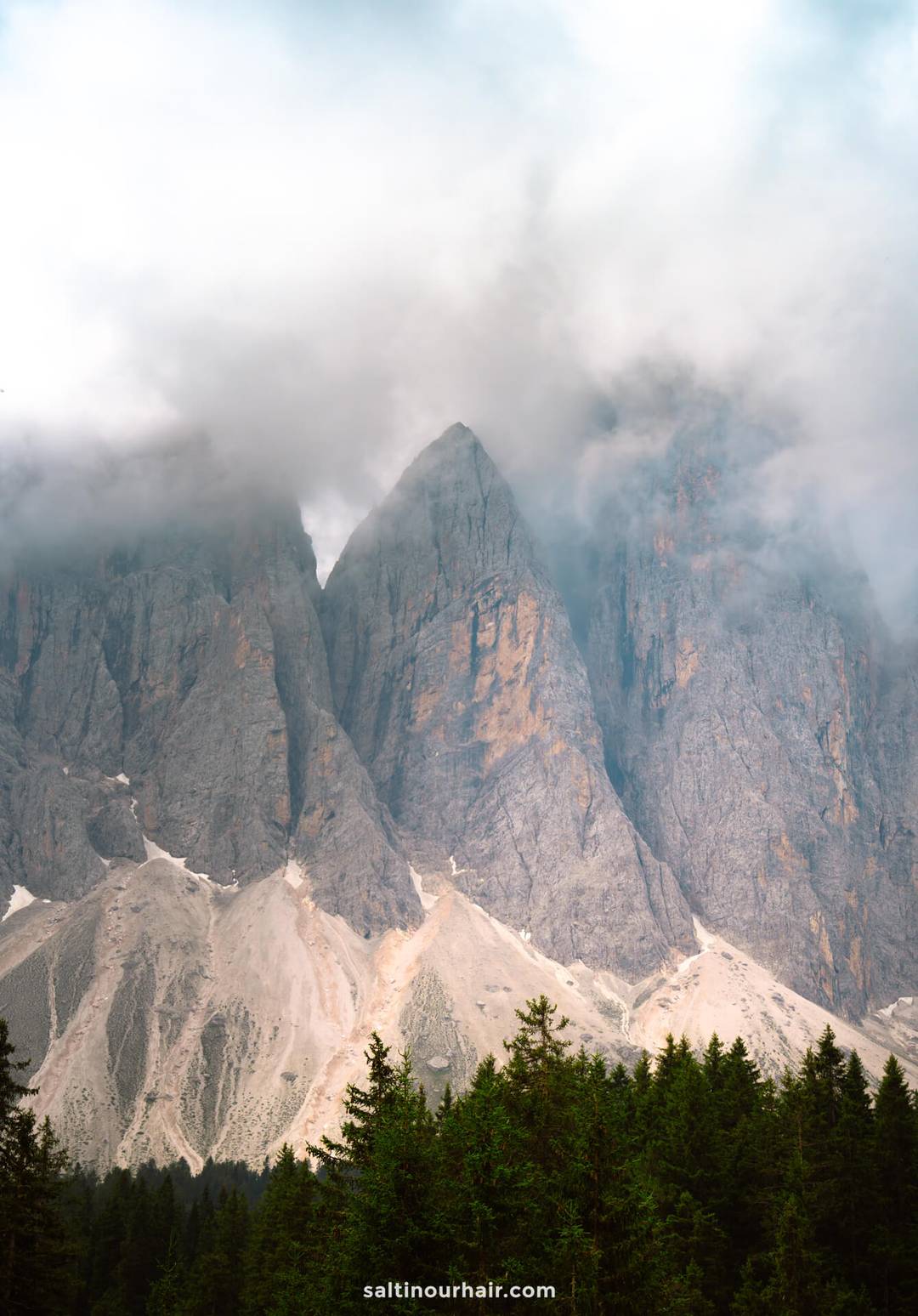
We absolutely loved the start of the Geisler Alm hike—walking along a mountain stream with the iconic peaks in the background (even though they were quickly covered in clouds for us). The forest section felt peaceful and wild, with huge boulders covered in moss and greenery.
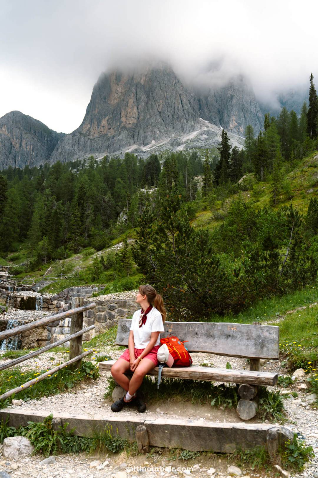

Despite the clouds, seeing those rocky mountaintops peeking through every now and then actually made them look even more dramatic. But if you visit on a clear day, it’s also next-level stunning. Follow the gravel path that loops between the pine trees, and you’ll eventually reach the point where you’re met with towering mountains.
Looking to do more hikes in the Dolomites? Our favorite was hiking Tre Cime.

Alpine Huts
Once you make it out of the forest, you’ll pass three alpine huts along the route. At this point, we were kinda craving some good food, and they’re perfect for a rest stop or a quick meal.
- Geisler Alm. This is our favorite and it’s the most famous because of its stunning location with wooden lounging chairs and fantastic food (read more below).
- Gschnagenhardt Alm. Less crowded, serves traditional dishes like Schlutzkrapfen (stuffed pasta).
- Dusler Alm. This one’s a quiet, cozy hut that makes for a peaceful break.

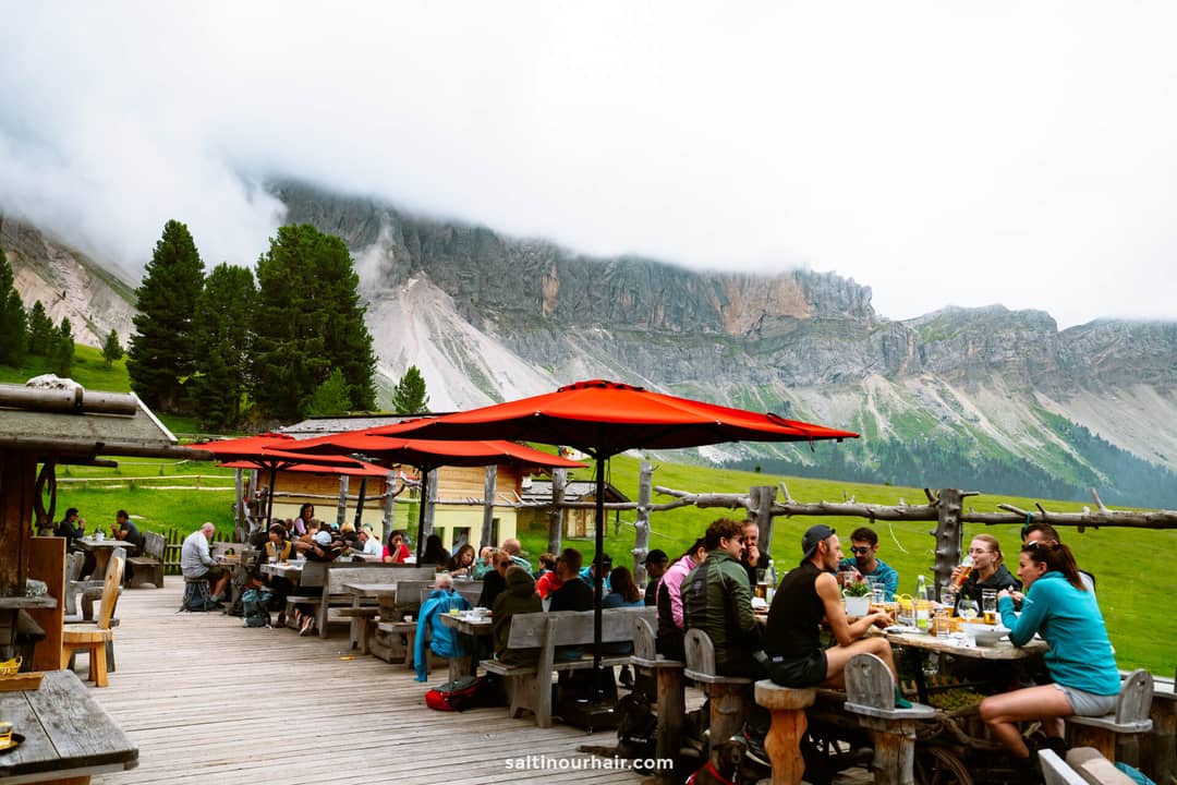

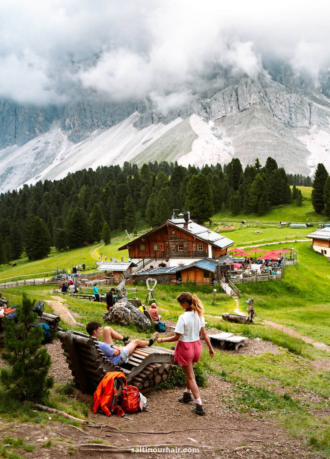
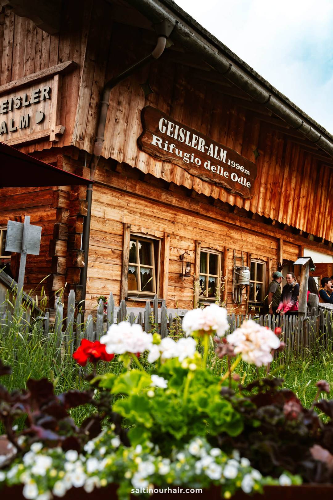
Geisler Alm — The Highlight
Geisler Alm (also known as Rifugio delle Odle) was the reason we did this hike in the first place! Even on a cloudy day, the setting feels magical beneath the Geisler peaks. There are comfortable wooden lounging chairs scattered around the hut that you can use. We honestly spent a full hour just sitting here and enjoying the view, it’s literally that gorgeous!

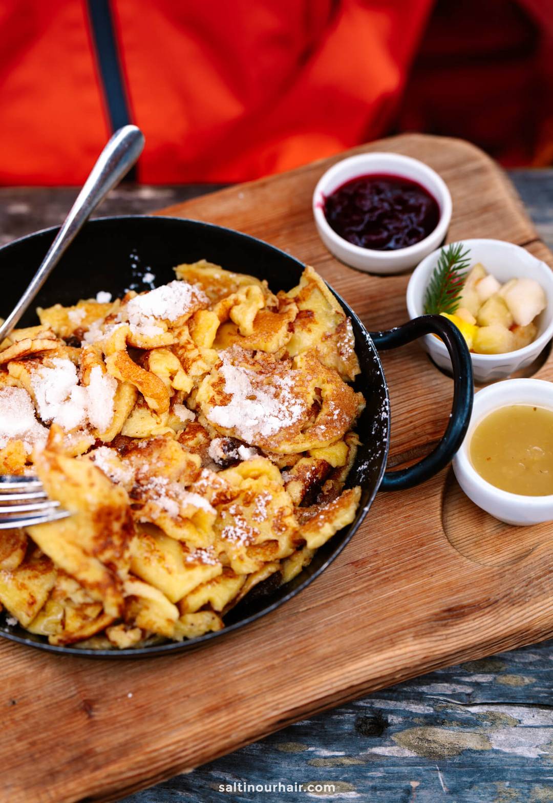
You’re also welcome to bring your own snacks and enjoy a picnic here. However, the hut’s food is fantastic too (check their menu here). We decided to have lunch here and ordered the following:
- Kaiserschmarrn. This is a lightly sweetened shredded pancake and a must-try!
- Veggie-stuffed omelet.
- Hot chocolate to warm ourselves.
There’s nothing that tops the great atmosphere at these rifugios. There’s good service, and you’ll be surrounded by lots of other hikers relaxing amidst the incredible scenery.


How to Visit
By Car
The best way to visit is by car. Drive to the Zanser parking lot and start the hike from there. Parking costs 10 EUR per day, 16 EUR for campervans, and is paid in cash.
We recommend to rent a car in Italy through Sunny Cars with free cancellation and insurance included. Book your rental car here.
Top Tip: If you’re staying in Val di Funes, check with your hotel about the DolomitiCard. This gives you a 50% discount on the parking fees at Zanser Alm (and many more perks).

By Public Transport
We saw a public bus here too so if you don’t have your own transportation, you can get to the Puez-Geisler Nature Park by public transport.
- If you’re coming from afar, you can catch a train to Klausen or Brixen.
- From there, hop on a bus to the Villnöss valley (Val di Funes, where you need to be). Bus line 330 takes visitors to the Zans car park every hour (except in November and April).
- If you’re traveling from Ortisei or a nearby town, you can hop on this same bus line to the car park.
You don’t need to reserve a seat on the bus. Check the timetables before you go and put St. Magdalena (Villnöss)/Zanser Alm as your destination.

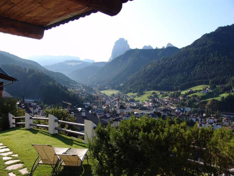
Where to Stay Nearby
The Odle Mountain Group lies in the Western Dolomites. Anywhere within the region is a great place to stay. Many choose a hotel in St. Magdalena (the closest), Klausen (Chiusa), or Ortisei (a 1-hour drive).
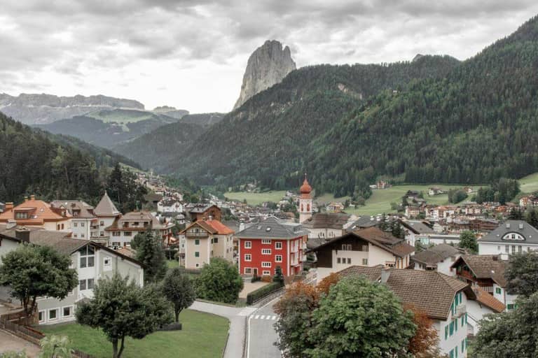
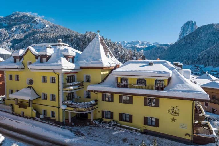
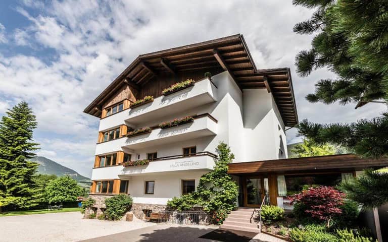
We stayed in Ortisei at Casa al Sole during the first half of our Dolomites itinerary. This boutique stay lies in the middle of town, is run by a lovely couple, and breakfast is included.


Best Time to Visit
The best time to visit Geisler Alm is from late June to September, when the days are warm and you have ideal hiking conditions. During this time, you’re rewarded with green fields and sunshine, which makes for the most beautiful scene.
- Start early. Preferably before 10 AM. This way, you avoid walking in a line of people, especially in busy summer months.
- Best months: Late May to early October (we did it in early July).
- Most photogenic: Autumn, when the trees turn golden (late Sept–Oct).
- Avoid: After heavy rain (muddy + slippery forest sections).
- Winter: The hike is still possible during this season, but come prepared with the right gear. (It’s snowy + less safe).


Tips for Hiking Geisler Alm
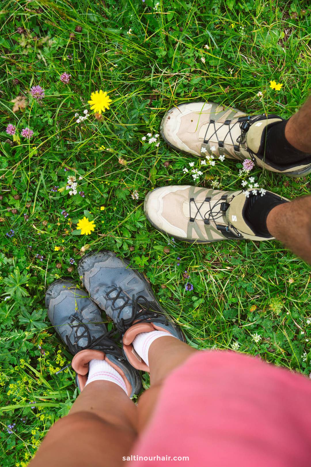
- Wear proper attire: No expert gear needed, but definitely wear shoes with a good grip (especially for the gravel sections). The weather in the Dolomites can change very quickly, so be sure to pack layers and a waterproof jacket.
- Bring enough water with you. Although we highly recommend stopping at the mountain huts (rifugi) scattered around for a meal, drink, or refill.
- Respect trail signs and keep your distance from grazing animals. You’ll see signs in both German, Italian, and Ladin (mountain language)!
- Check trail updates before going. This way, you know if there are any closures or sections with warnings.
- If there’s a crowd at the beginning of the route, consider walking the Adolf Munkel Trail counterclockwise for a more peaceful experience.
- Dogs: Welcome to the trail! We saw some really cute ones.🥰
- Toilets are available at Geisler Alm, the other two huts, and at the restaurant at the parking.
- If it’s busy at the Geisler Alm hut on the hike, there are also wooden loungers at Gschnagenhardt Alm.
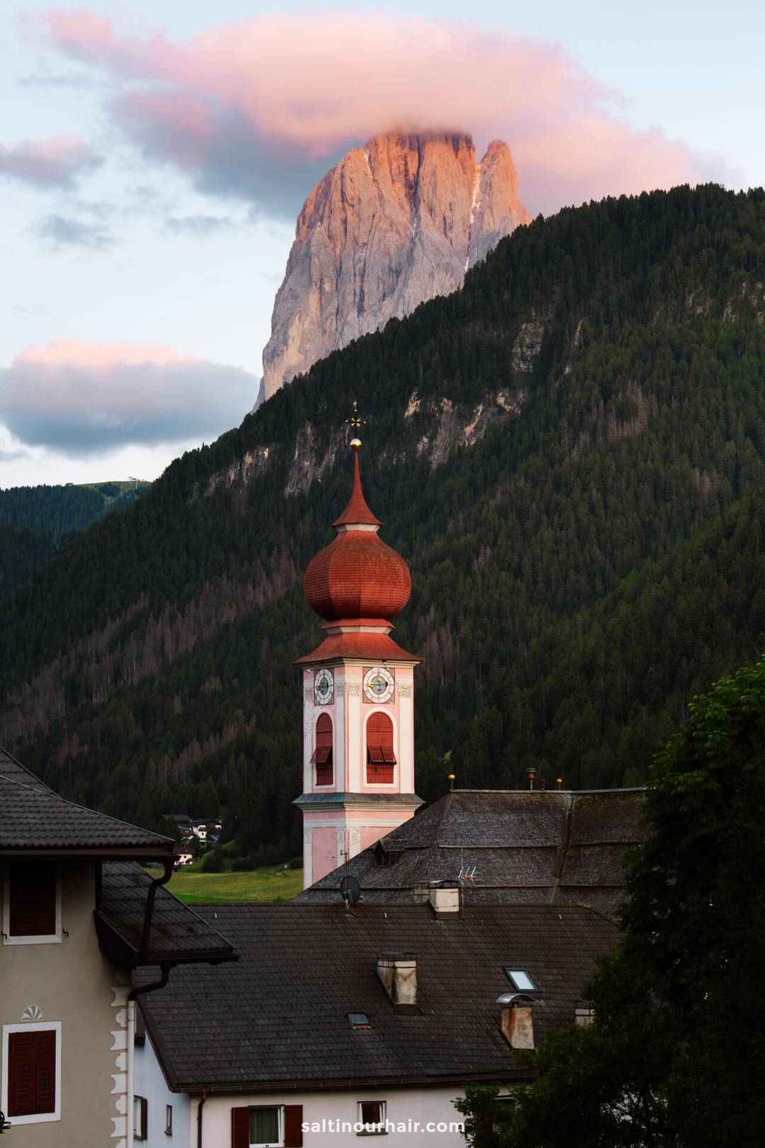
- If you can, watch the sunset from Val di Funes. There’s nothing more beautiful than watching the Alpenglow appear on the Odle peaks you’ve just hiked beneath.

Geisler Alm is an alpine hut located about halfway along the Adolf Munkel Trail/Adolf Munkelweg. It takes 1.5 hours (~4 kilometers) to get there. The whole loop trail is about 9.5 KM.
The altitude of Geisler Alm itself is 1,996 meters. The Adolf Munkel Trail has an elevation gain of around 428 to 754 meters.
By purchasing through our links, you support us at no additional cost.
Thank you for your support. ♥️
- Find Hotels via Booking.com
- Find a Rental Car via Sunny Cars
- Find Flights to Geisler Alm via Skyscanner
- Get a Travel Insurance via Heymondo
- Book Tours & Attractions via GetYourGuide
- Book a Bus/Train/Transfer via 12Go


Looking for more travel information? Plan a chat with us for personalised travel advice or get an answer from the Salt in our Hair Travel Community on Facebook.